Many hyperlinks are disabled.
Use anonymous login
to enable hyperlinks.
Overview
| Artifact ID: | 7f3ea2cb1298b498a36bf0a779b1544a2080eafe |
|---|---|
| Page Name: | ItalyRailAtlas |
| Date: | 2012-06-08 18:47:28 |
| Original User: | sandro |
| Parent: | ab88f1753afaa248499dc4ff63bff81410b2a2b2 (diff) |
Content
Back to the main LibreAtlas Wiki page
about ItalyRail Atlas
Coordinate Reference System
The supported SRS is WGS84, as formally identified by the EPSG standard SRID 4326.This CRS is one of the geographic type, i.e. it's based on Latitude and Longitude measured angles.
Spatial Resolution (Nominal Scale)
The supported nominal scale for each dataset is one well fit for medium scale, regional representations.It typically is about 3 arc seconds, this roughly corresponding to 90 m on the Equator.
Supported vector datasets
The following datasets (aka layers) of the vector type are included on the ItalyRail Atlas:- Towns: about 20.000 populated places are represented.
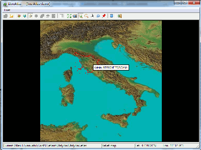
The original source for this dataset is GeoNames (released under the CC-BY license terms). - AdminAreas: a comprehensive map of Italian administrative boundaries: 20 Regions, 110 Counties and about 8.000 Local Councils are represented.
The original source for this dataset is Istat (released under the CC-BY license terms).
Regions and Counties Coat-of-Arms are taken from Wikipedia (and usually are in the Public Domain). - Railways (30.000 arcs) and RailwayStations (2.600 points) are taken from OSM/GeoFabrik (released under the CC-BY-SA license terms).
Supported raster datasets
The following datasets (aka layers) of the raster type are included on the ItalyRail Atlas:- Satellite imagery: this actually corresponding to TrueMarble (relased under the CC-BY license terms).
TrueMarble is a selected mosaic of orbital images taken from Lansat7 NASA/USGS satellite.
Supported resolution is 250 m.
- Relief imagery: this actually corresponding to SRTM Digital Elevation Model. (Public Domain).
The original measured elevations were produced by the NASA/USGS Space Shuttle Radar Topography Mission.
This dataset has a spatial resolution of 90 m.
Actual imagery was then obtained by the Author itself by applying false colours and shaded relief rendering techniques.
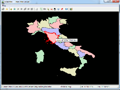
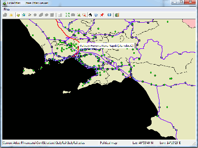
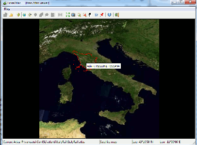
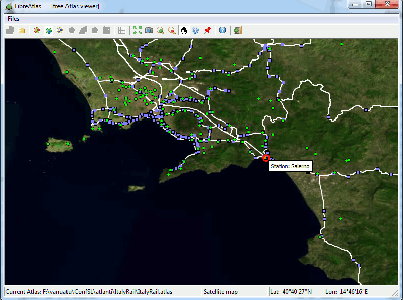
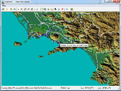
| Visual Examples | ||
|---|---|---|
| dataset | Full Coverage | Detail |
| Political map (vector layers) |
|
|
| Satellite map (TrueMarble) |
|
|
| Relief map (SRTM) |
|
|
Back to the main LibreAtlas Wiki page