Back to the main LibreAtlas Wiki page
about Piemonte Atlas
Coordinate Reference System
The supported SRS is WGS84 / UTM zone 32N, as formally identified by the EPSG standard SRID 32632.This CRS is one of the planar / projected type, i.e. it's based on X and Ycartesian coordinates measured in metres.
Spatial Resolution (Nominal Scale)
The supported nominal scale for each dataset is one well fit for medium scale / regional representations. It typically is about 15 m.Supported vector datasets
The following datasets (aka layers) of the vector type are included on the Piemonte Atlas:- Towns: about 1.700 populated places are represented.
The original source for this dataset is GeoNames (released under the CC-BY license terms). - Any other dataset was taken from Regione Piemonte (released under the CC-BY license terms).
Region and Counties Coat-of-Arms are taken from Wikipedia (and usually are in the Public Domain).- AdminAreas: about 1.200 administrative boudaries (Counties and Local Councils)
- CulturalHeritage: about 70 POIs
- Lakes: about 200
- Rivers: about 4,100
- NaturalReserves: about 110
- Highways: about 23.000 road arcs
- Railways: about 190 railway arcs
- RailwayStations: about 400 POIs
- TownAreas: about 1.000 footprints
Supported raster datasets
The following datasets (aka layers) of the raster type are included on the Piemonte Atlas:- Satellite imagery: this actually corresponding to Landsat panchromatic band (relased on the Public Domain)
.i.e. it's a mosaic of selected orbital scenes taken from Lansat-7 NASA/USGS satellite. Supported resolution is 15m/pixel. - Relief imagery: this actually corresponding to SRTM Digital Elevation Model. (Public Domain).
The original measured elevations were produced by the NASA/USGS Space Shuttle Radar Topography Mission.
This dataset has a spatial resolution of 90m/pixel.Actual imagery was then obtained by the Author itself by applying false colours and shaded relief rendering techniques.
Cordinates reprojection from 4326 WGS84 to 32632 WGS84 / UTM zone 32N was applied using the gdalwarp open source tool.
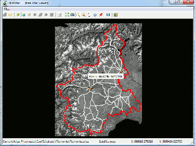
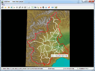
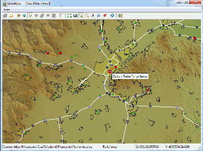
| Visual Examples | ||
|---|---|---|
| dataset | Full Coverage | Detail |
| Political map (vector layers) |
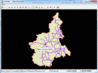
|
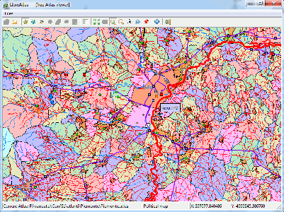
|
| Satellite map (Landsat-7 panchromatic band) |
|
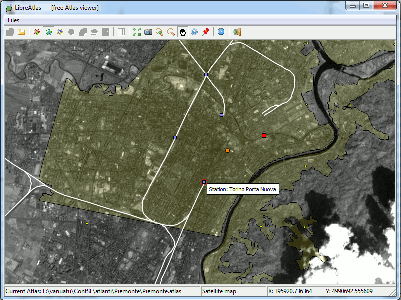
|
| Relief map (SRTM) |
|
|
Back to the main LibreAtlas Wiki page