|
stozzac
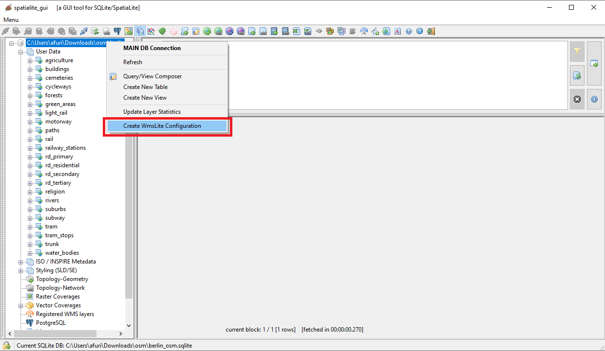
WMS
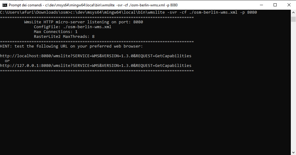
WmsLite test server
A simple light-weight WMS server for testing RasterLite2 Coverages.
some keyword
another keyword
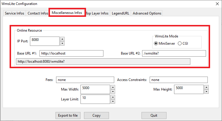
http://localhost:8080/wmslite?
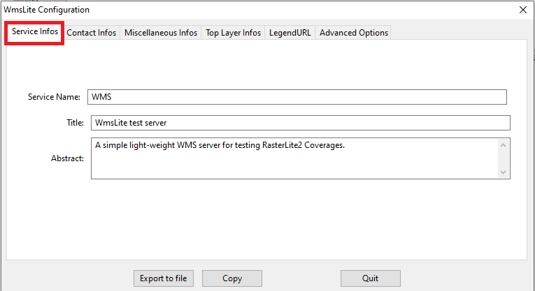
James T. Kirk
United Federation of Planets, Starfleet
Starship Captain
stellar
USS Enterprise
Planet Earth
Solar System
12345#WYZ47NL@512
Milky Way Galaxy
positron@antimatter.org
none
none
10
5000
5000
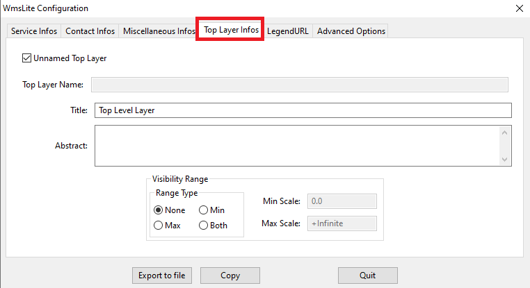
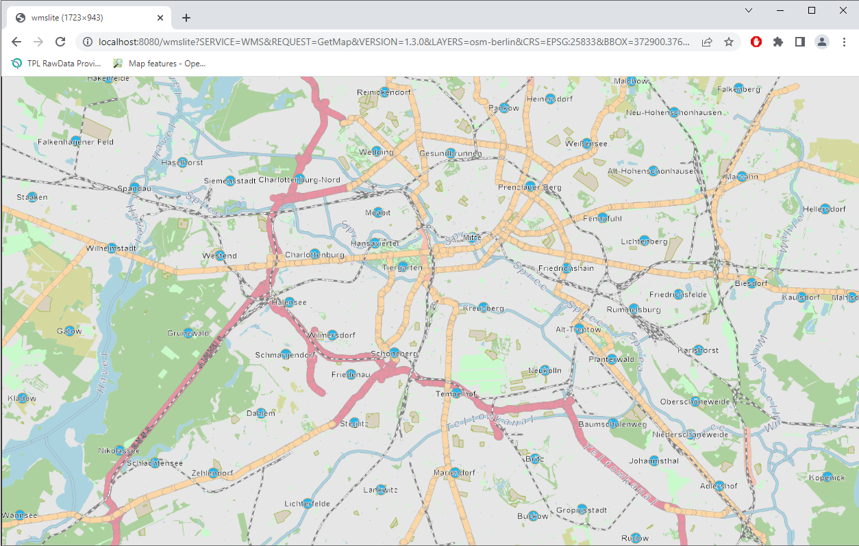
Top Level Layer
forests
water_bodies
agriculture
green_areas
buildings
religion
rivers
cemeteries
motorway
trunk
rd_primary
rd_secondary
rd_tertiary
rd_residential
paths
cycleways
subway
rail
light_rail
tram
suburbs
railway_stations
tram_stops
|