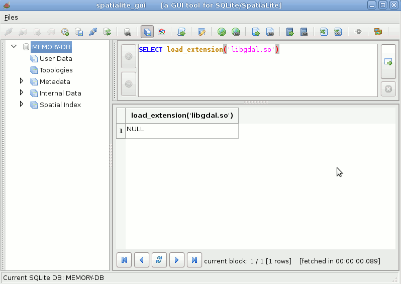
we'll start loading libgdal as a dynamical extension to SQLite; if we were on Windows we obviously had to load a file named libgdal.dll (or something like; it usually depends on packagers choices)
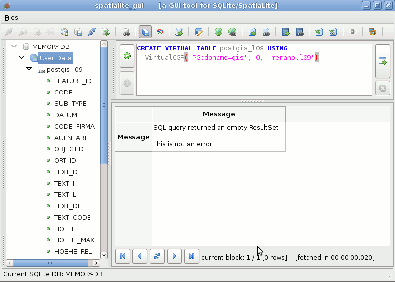
now we'll try to connect a PostGIS table l09, located in the schema merano of the databases gis
- the first argument PG:dbname=gis selects a connection to PostgreSQL
- the second argument 0 simply intends read-only mode
- the third argument merano.l09 specifies the schema and table names
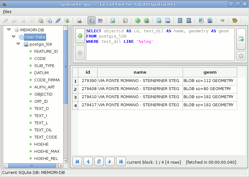
just a simple test query to check if anything works as expected
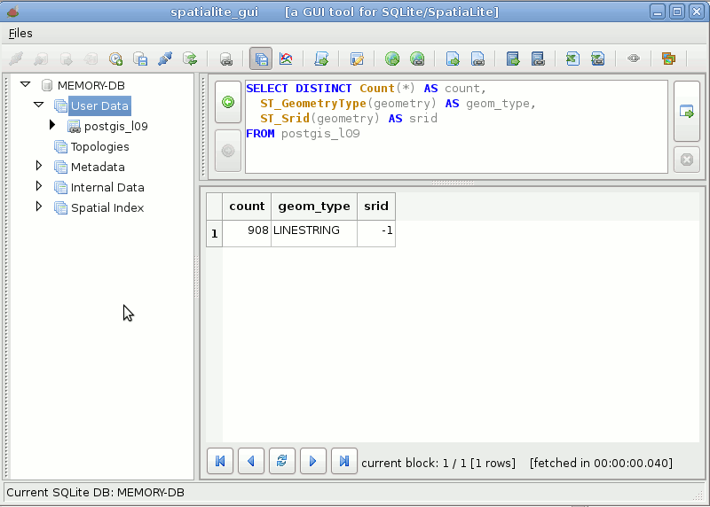
we'll now check the Geometry-Type and SRID of geometries contained into the PostGIS table.
For some odd reason the SRID is reported as -1 (undefined); anyway a direct query on PostGIS reports SRID=25832
(Could be I've missed to set some magic argument into the connection string ?)
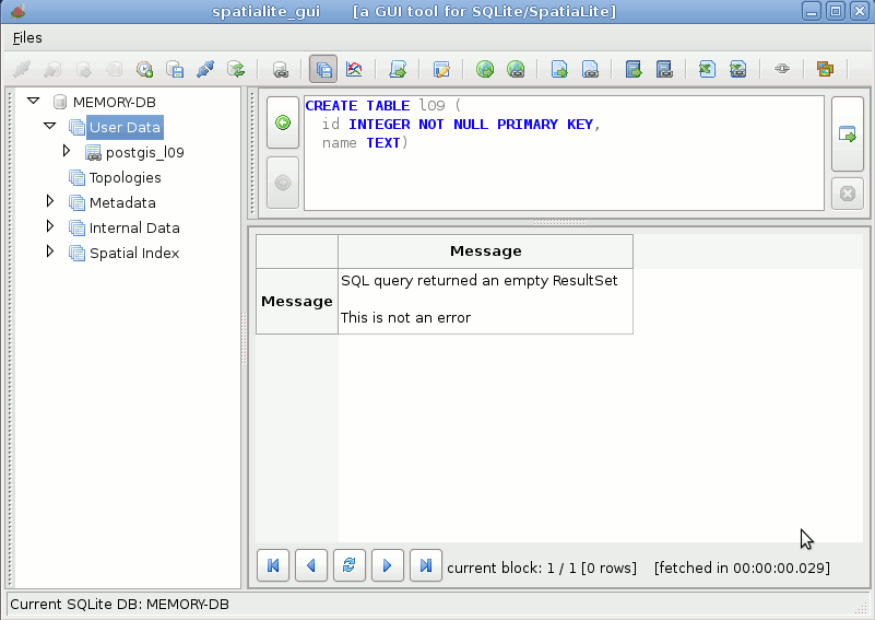
now we'll create a genuine SpatiaLite own table
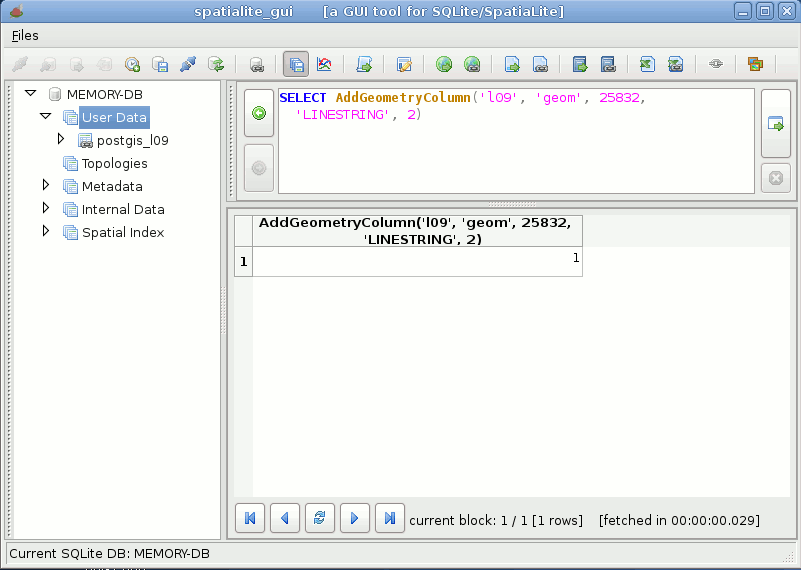
we'll then add a Geometry column to the previously created table
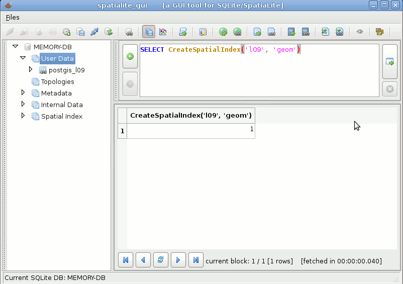
and finally we'll create a Spatial Index on this geometry column
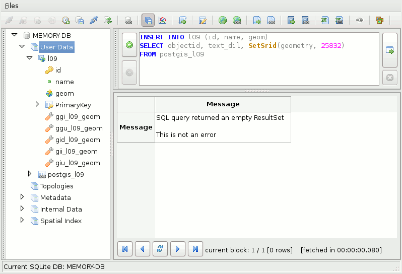
now we simply have to execute a very trivial
INSERT INTO ... SELECT
SQL statement, and the whole table will be directly imported into SpatiaLite from PostGIS
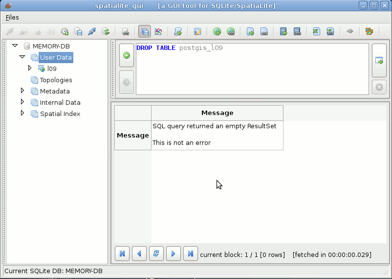
end of the story: now we simply have to disconnect the PostGIS table and we've completely finished our job with full success.
Really amazing
as simple as drinking a glass of water !!!